Ocean, Seas and Coasts Events

This objectives of the workshop included;
- Bring together key stakeholders in the region to share and exchange experiences, knowledge and information on the status, conditions, and trends of critical ecosystems and the main challenges facing them in the region.
- Showcase progress in forging regional common strategies for critical ecosystems: showcasing case studies for DTTOs – the case of the Caribbean Digital Twin protoype.
- Identify priority possible solutions for addressing the main challenges facing the critical ecosystems in the region.
- Deliberate and build consensus on forging an effective transdisciplinary partnership and collaborative framework to upscale ocean knowledge and information management in the region.
Coastal zones are home to 40% of the world's population and diverse marine life, and yet face hazards from human activities and climate change. African coastal areas experiencing rapid population growth and urbanization, are particularly vulnerable. Recent events like Cyclone Freddy underscore this vulnerability, but early warning could have helped mitigate the impact. Ocean observation and prediction are crucial for understanding these areas, protecting ecosystems and populations, and supporting sustainable development.
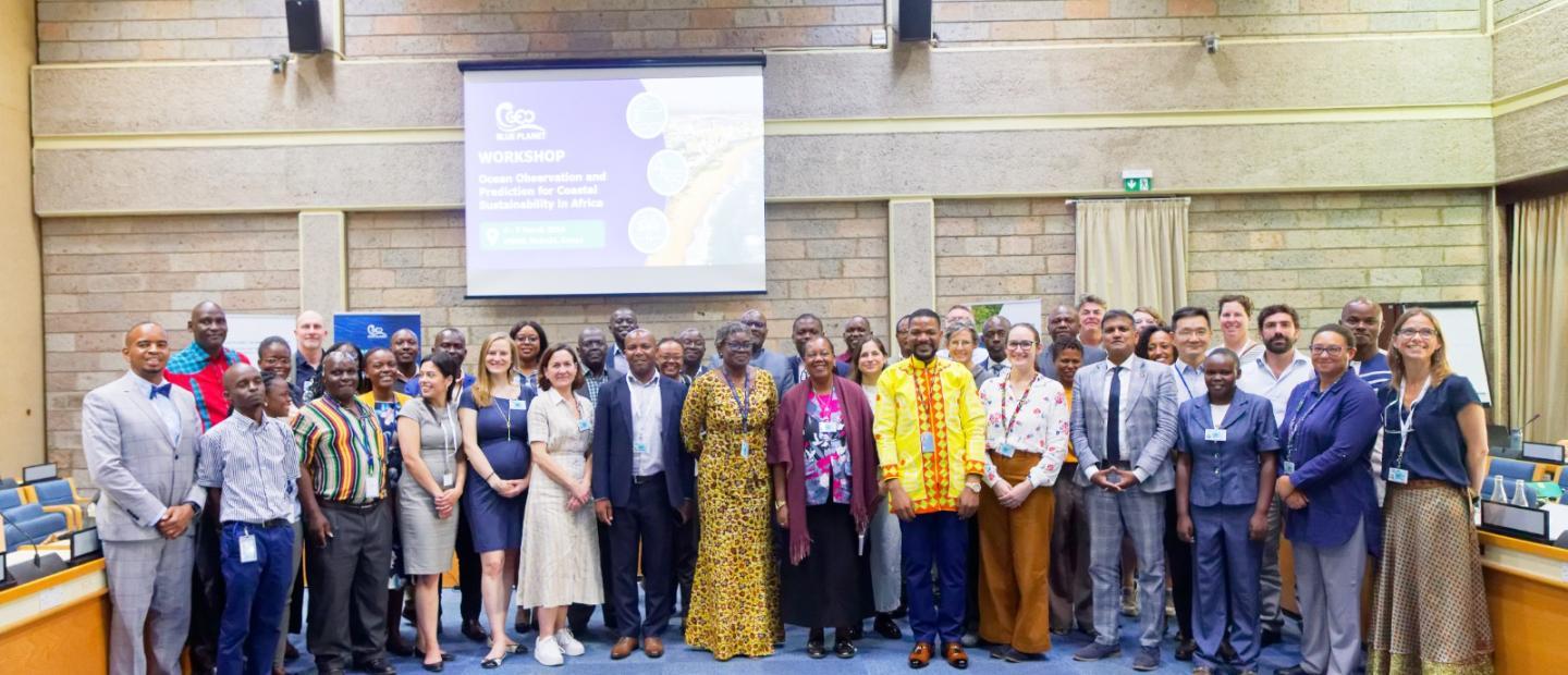
GEMS Ocean hosted the Geo Blue Planet Workshop on Ocean Observation and Prediction for Coastal Sustainability in Africa from 4th to 7th March 2024 at the UNEP Headquarters in Nairobi, Kenya. The event focused on exploring the role of ocean observation and prediction in addressing stakeholders needs aligned with the African Union (AU) blue strategy, the UN Ocean Decade roadmap for Africa and the formulation of international frameworks. The workshop also focused on identifying the priorities and needs for ocean observations and predictions to address the challenges of coastal sustainability in Africa.
The workshop comprised presentations and discussions on policy, blue economy and decision making and their needs for Ocean Observation and prediction, as well as key notes on ocean, coastal hazards, blue carbon and observation and prediction capabilities in Africa, including Earth-observation based products and services tailored for the continent.
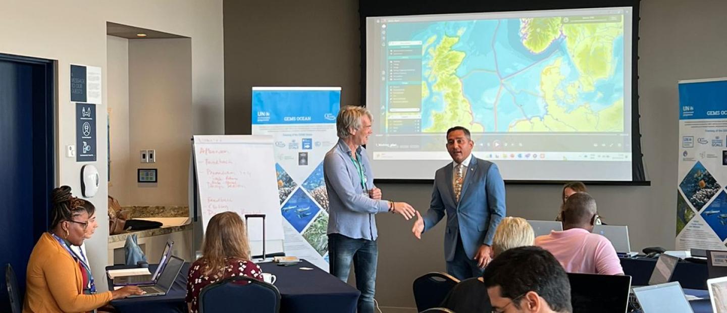
The workshop entailed two-day plenary sessions structured around four thematic areas: shoreline changes and seabed mapping, coastal flooding and inundation, coastal ecosystem mapping, and coastal water quality. Plenary discussions included the Needs and Limitations within Ocean Monitoring and Observations emphasizing how the Early Warning for Environment (EWE) approach could bridge these gaps effectively. The discussions brought to the fore the essential aspects of monitoring upstream risks, evaluating the midstream state of the ocean floor and coastlines, and assessing downstream solutions and investment enablers through innovative methodologies like digital twinning technology, alongside the amplification of citizen science and community engagement for co-creation.
The digital twinning technology for models on marine ecosystem dynamics and predicting intervention impacts offers a cost-effective alternative to traditional monitoring methods.
Date: 4th-7th March 2024
Location: UNEP Headquarters, Nairobi
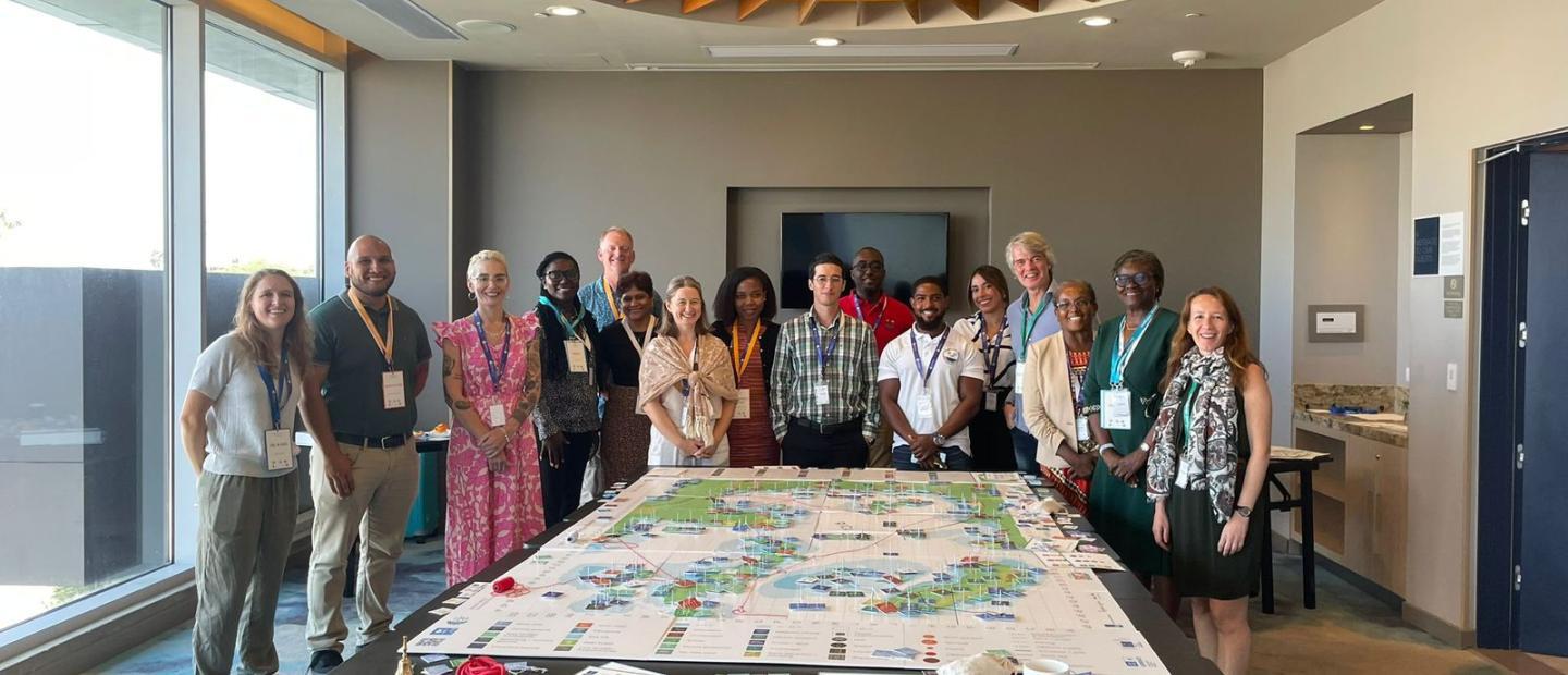
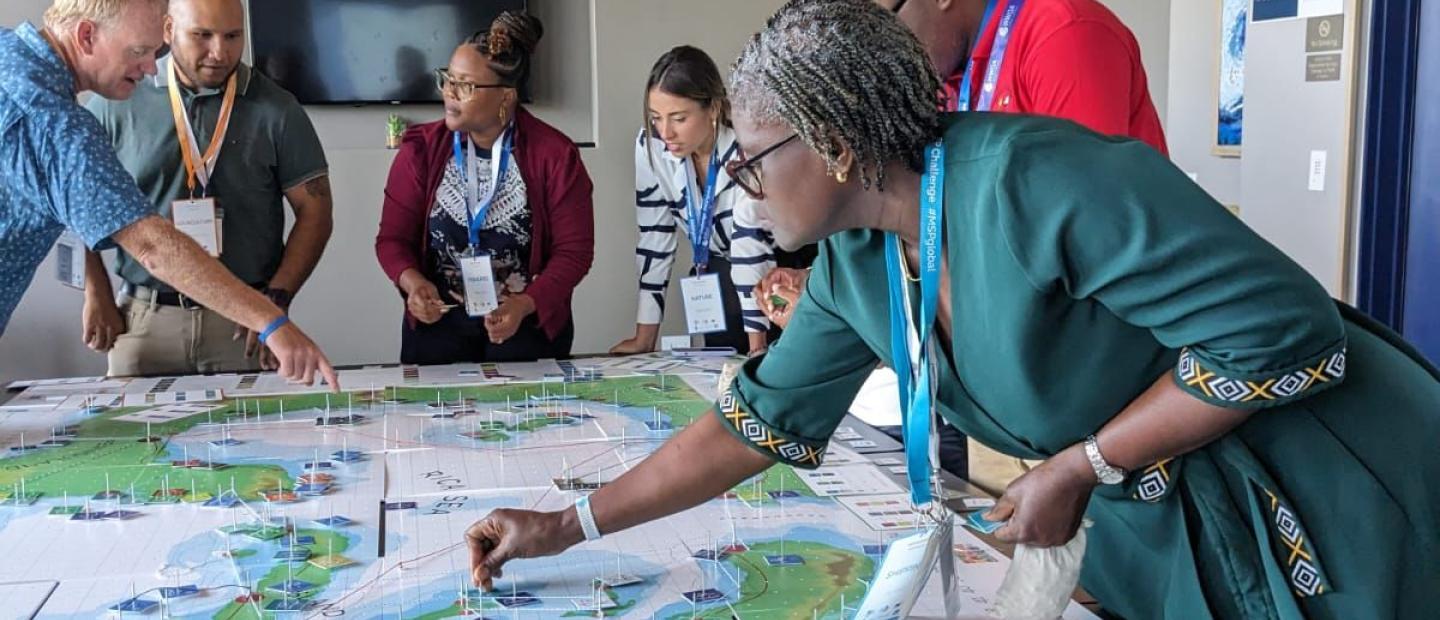
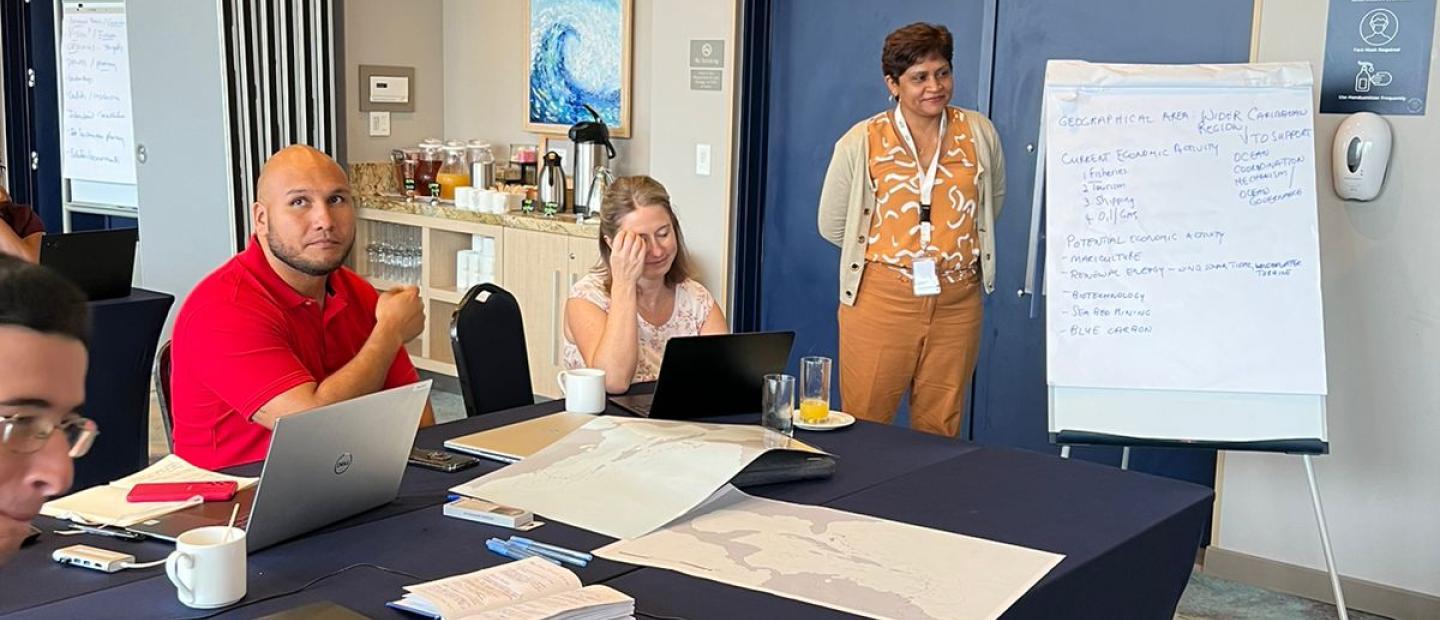
The GEMS Ocean Caribbean Sea Digital Twin prototype (CSDTp) initiative aims to develop and use Digital Twin of Ocean (DTO) concepts and technologies to improve the understanding and management of the Caribbean region's coastal and ocean environment and its unique biodiversity. The initiative also connects the CSDTp to other Digital Twins for the Ocean (DTO) initiatives worldwide.
Focusing on Marine Spatial Planning (MSP), Ocean Forecasting, Disaster Risk Reduction, Tourism, and Blue Economy among others, the MSP Challenge Tool developed by the Breda University of Applied Science(BUas) will be used for the prototype and the hackathon development such as simulation, 3D modeling, and data visualization software. The CSDTp was supported by a Data Hackathon in the region, which brought together experts and stakeholders to analyze and interpret data collected in the region and understand the constraints and opportunities for the development of the prototype.
The main objectives of the Hackathon included; jointly developing one or more prototypes of a future Caribbean Digital Twin Ocean(DTO) using the Marine Spatial Planning(MSP) Challenge simulation platform as a canvas, identifying the key actors and actions needed to develop a future Caribbean Sea DTO / MSP Challenge Caribbean edition, initiating a Caribbean community of practice that can be involved in regional initiatives for developing a future Caribbean DTO / MSP Challenge Caribbean editions and jointly identifying and sketching the critical design elements of an MSP Challenge Caribbean edition: data layers, models and simulations, and user interaction.
Massive episodic inundations of floating sargassum seaweed have been impacting shorelines on both sides of the tropical Atlantic since 2011. These influxes are now widely considered to be part of the ‘new normal’ facing vulnerable regions in the Wider Caribbean, West Africa, and some parts of India. 2018 saw record-breaking quantities of sargassum reaching the Caribbean, with 20 million metric tonnes reaching the region in June alone. That is equivalent to the weight of 200 large cruise ships.
The CSDTp could provide near-real data on the massive episodic inundations of floating sargassum seaweed that have been impacting shorelines on both sides of the tropical Atlantic since 2011. To read more about this topic, read the 24th edition of UNEP’s Foresight Brief: Sargassum: Brown tide or golden jewel? which focused on the floating sargassum seaweed.
The MSP simulation challenge takes up the interface of a game to make learning a topic that has otherwise been considered challenging, fun, interactive, and more communicative.
Date : 3rd-5th October 2023
Location : Oranjestad, Aruba