Last modification: December 2022
Environmental topic: Risk

Climate Change: a story map based on the Driver-Pressure-State-Impact-Response (DPSIR) framework
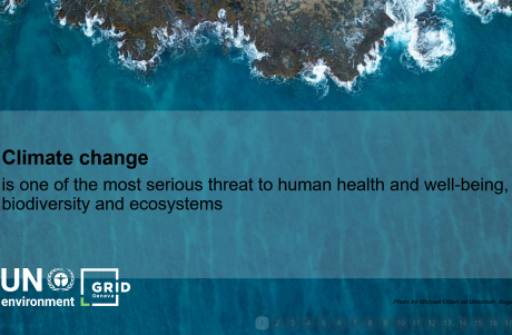
Last modification: January 2022
Environmental topic: Climate change
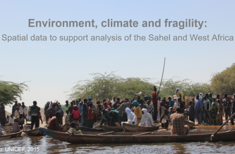
Environmental and Socio-economic Data to Support Analysis of West Africa and the Sahel
Last modification: January 2020
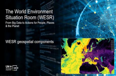
Environmental topic: All
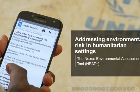
Assessing environmental risk in humanitarian settings: the Nexus Environmental Assessment Tool (NEAT+)
Last modification: March 2020
Environmental topic: Environmental risk
Last modification: January 2022
Environmental topic: Ecosystems
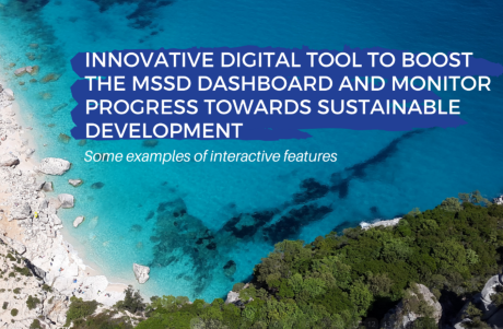
Innovative digital tools to boost the Mediterranean Strategy for Sustainable Development (MSSD) dashboard
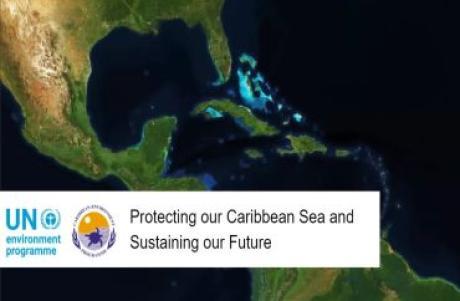
Last modification: January 2022
Environmental topic: Oceans and seas ; Technology
MapX, an online, geospatial, open source platform for the management of environmental data
Last modification: November 2021
Environmental topic: Technology
Last modification: December 2017
Environmental topic: Sustainable consumption and production ; Climate change ; Disasters and conflicts
Last modification: 2018
Environmental topic: Water ; Pollution